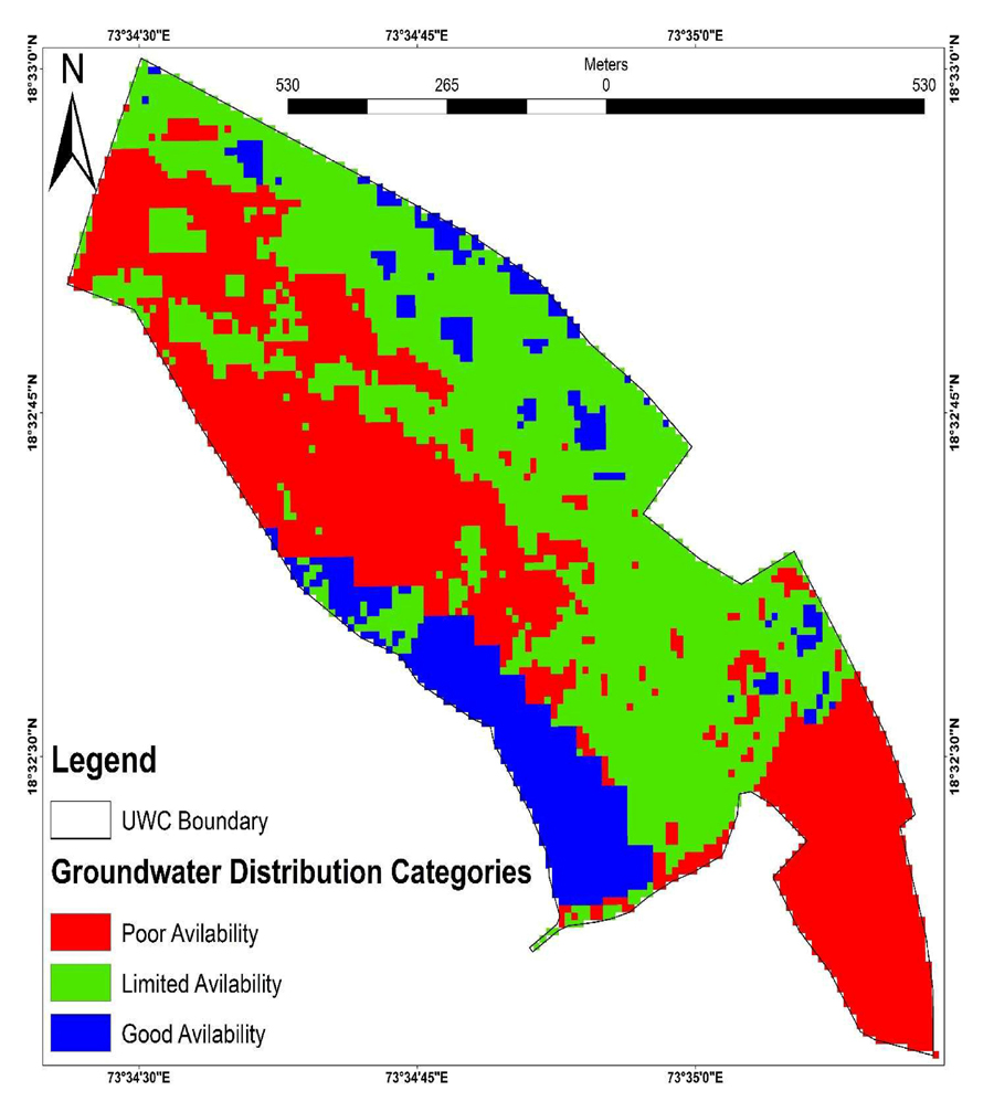
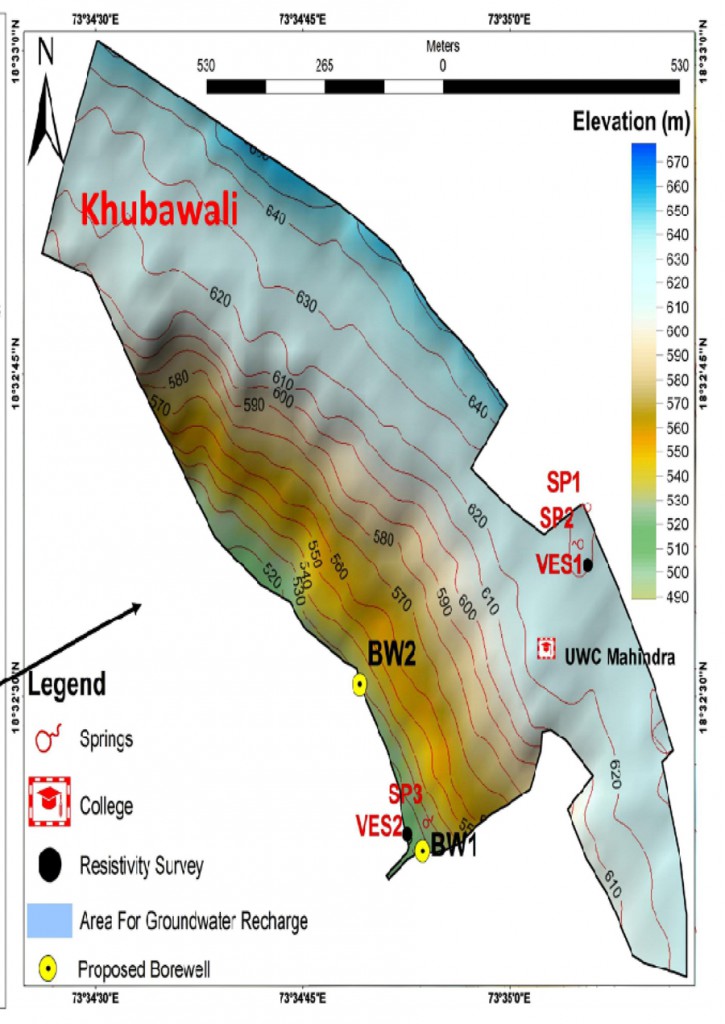
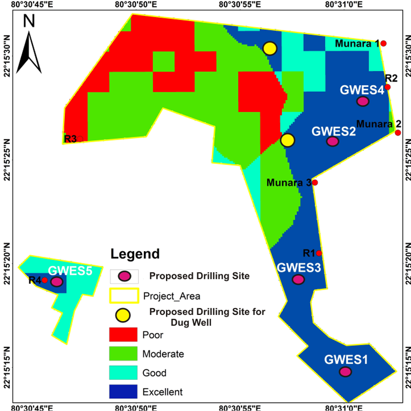
Remote sensing and GIS are powerful tools for developing water resource mapping solutions such as assessing water quality and managing water resources on a local or regional scale.
Remote sensing services in verticals.
-
Satellite Imagery Interpretation and Classification.
-
Classification-supervised and unsupervised.
-
Change detection.
-
Slope aspect analysis.
-
Land cover classification.
-
Coastal ecosystem management.
-
Forestry mapping.
-
Agricultural mapping.
-
Mining and Geology mapping.
-
Environmental impact assessment mapping.
-
Clutter data for Wireless telecommunication mapping.
-
Watershed management.

